About Moopun Falls
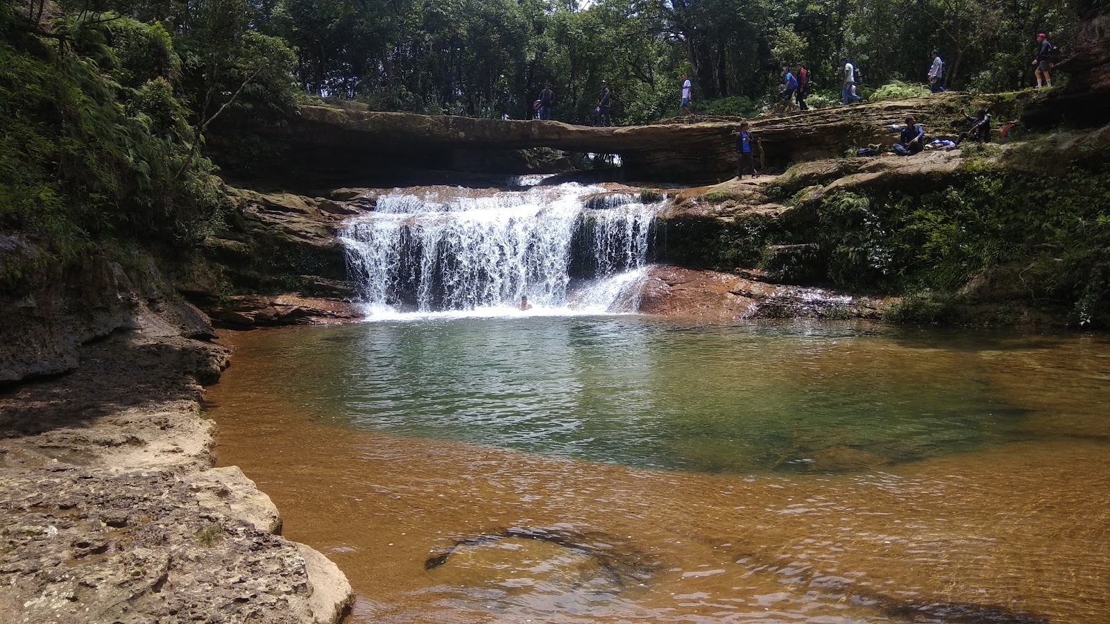
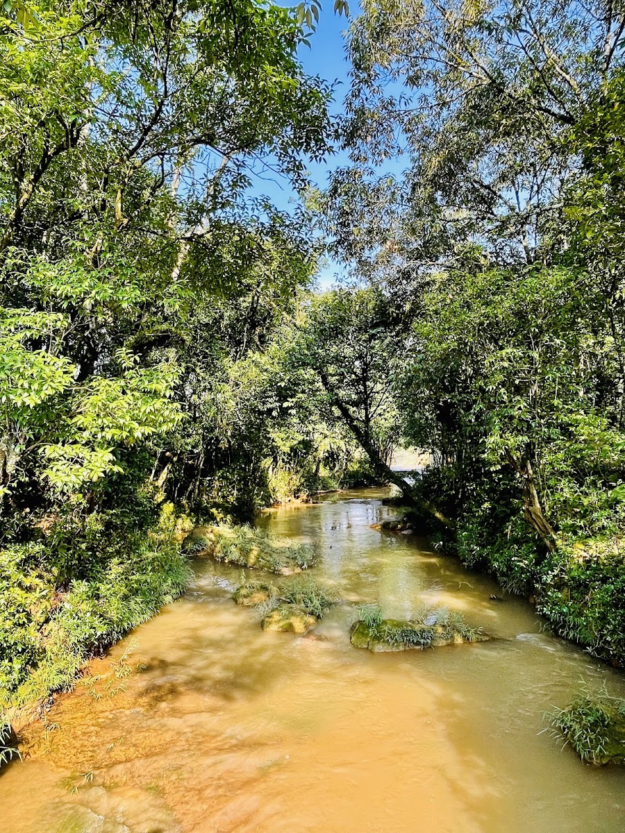
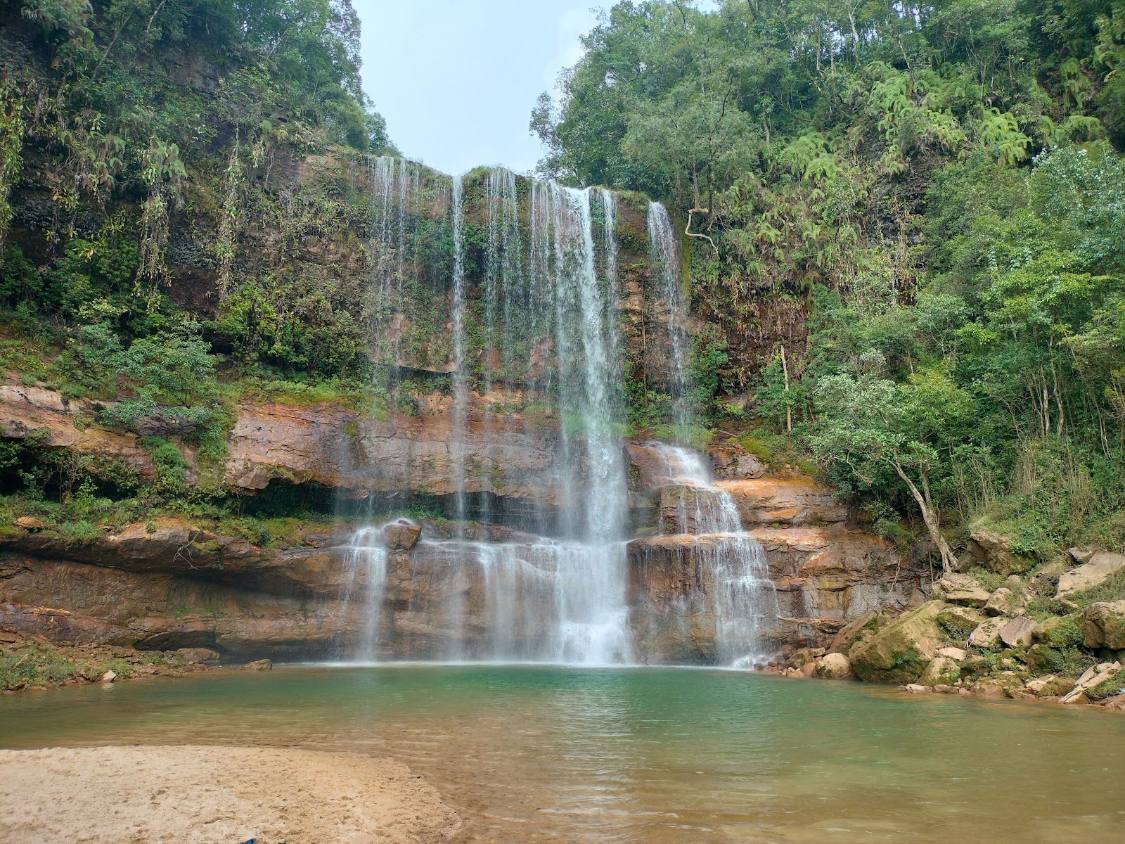
Moopun Falls is a waterfall on the Umjhai river at Mutong village in East Jaintia Hills, about 25 km from both Jowai and Khliehriat. According to the district administration, the falls drop about 110 feet and are about 50 feet wide, and the water continues downstream to join the Myntdu river. The falls take their name from the old stone bridge that crosses the Umjhai at the top of the drop. Locally, 'Moo' is explained as stone and 'Pun' as connect. Just below the bridge, the river falls about 20 feet into a natural pool, roughly 75 feet long and 50 feet wide, before going over the main fall. Pitcher plants grow on the wet rock face beside the falls. A local legend links the falls to Umhang Lake at Bataw village. Moopun is a short, easy stop compared with the longer treks of the Jaintia Hills, and it pairs well with Umbyrlein Falls at nearby Rangad and Rynji Falls at Cham Cham, both a few kilometres away.
What to expect at Moopun Falls
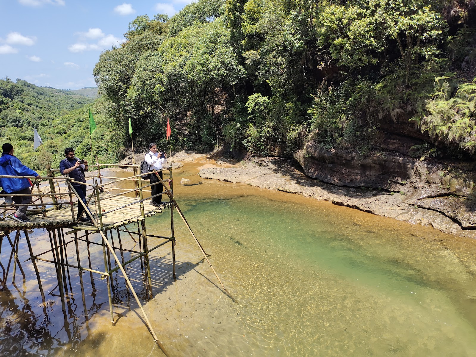
Stone bridge: Walk across the old stone bridge at the top of the falls, about 3 minutes from parking. Natural pool: Below the bridge the river drops about 20 feet into a wide pool, the spot most visitors head to. Base of the falls: A walk of about 5 minutes from parking brings you to the bottom of the 110 ft main drop. Pitcher plants: Look for them on the rock face near the falls; do not pick them. Access: The site is about 300 m off the PWD road, so it suits families and older travellers. Food options are limited, so carry water and snacks.
Visitor Information
Best Time to Visit
October to February
Post-monsoon (October to November) is the most comfortable time: the falls still carry good water and the rock around the pool is drier. Winter (December to February) brings clear, calm water but a thinner flow, and visitors report noticeably low water by March. In the monsoon (June to September) the falls are at their fullest, but the river is fast and the rocks are slippery, so avoid entering the pool. Go in the morning or early afternoon for the best light.
Getting There
Moopun Falls is roughly 88 km from Shillong, about 2.5 to 3 hours by road.
Moopun Falls is roughly 88 km from Shillong, about 2.5 to 3 hours by road. Drive to Jowai on NH6 (around 64 km), continue east to Kongong junction, then turn onto the rural road via Pynthorsale and Mukhaialong to Mutong village, about 10 km from the junction. The falls are about 25 km from Jowai and from Khliehriat; taxis can be hired in either town. A private cab from Shillong can be booked with Tour Meghalaya. From the parking area it is a walk of 3 to 5 minutes to the bridge and the base of the falls.
Entry & Duration
Plan about 1 to 1.5 hours at the falls. Most visitors combine it with Umbyrlein and Rynji Falls as a half-day trip from Jowai.
Frequently Asked Questions
Where is Moopun Falls?
Moopun Falls is on the Umjhai river at Mutong village in East Jaintia Hills, Meghalaya, about 10 km from Kongong junction on the Jowai-Khliehriat highway.
How far is Moopun Falls from Shillong?
It is roughly 88 km from Shillong, about 2.5 to 3 hours by road via Jowai. From Jowai it is about 25 km.
How high is Moopun Falls?
The district administration gives its height as about 110 feet and its width as about 50 feet.
Can you swim at Moopun Falls?
There is a natural pool below the stone bridge that visitors use in the dry months. Avoid entering the water during the monsoon, when the current is strong.
Best time to visit Moopun Falls?
October to February is the most comfortable period. The flow is strongest from June to September but the rocks are slippery.
What does Moopun mean?
The name is explained locally as 'Moo' (stone) and 'Pun' (connect), after the stone bridge across the river at the top of the falls.